Through the Hitzige Tal [Hot Valley] to the Jägerberg [Hunter’s Mountain] Insights into settlement and economic history
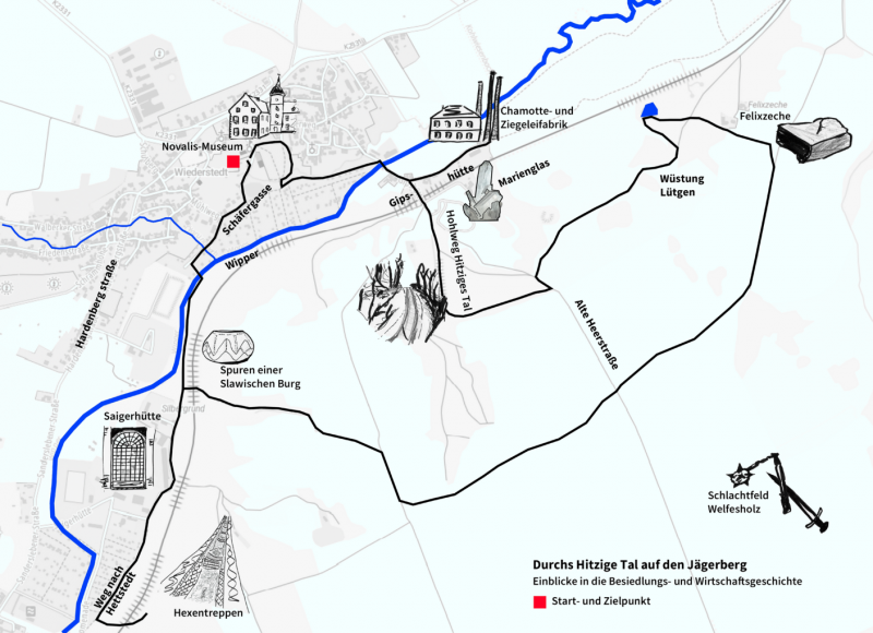

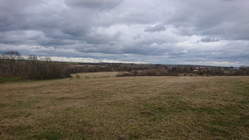
The prehistory and early history of the Mansfeld region is very well researched. The oldest human tool found in this landscape is the 250,000-year-old hand axe from Helfta, south of Eisleben. Historical traces in the Wipper River Valley and along the slopes indicate a settlement history stretching back seven millennia. Since the Bronze Age, it has been connected with the mining of copper shale. The walk invites you to follow these traces and to dive briefly into local economic history here and there. Through Krötengasse [Toad Lane], the former border between the Kingdom of Prussia and the Duchy of Anhalt, the route leads to the Wipper River and continues on the flood protection dam towards Gipshütte. A detour leads to the former Anhalt Chamotte and Brickworks Unterwiederstedt, before the walk follows a Hohlweg [Hollow Path] through the Hitzige Tal [Hot Valley] up to the Jägerberg [Hunter’s Mountain]. Across open fields, the path, which offers a beautiful view to Sandersleben, continues to the Felixzeche [Felix Mine], where lignite was once mined, and from there, across the battlefield at Welfesholz, where Emperor Heinrich V and rebellious Saxons confronted each other in 1115. Passing mining dumps from the 16th century, we reach the remains of the rampart and main castle of a Slavic settlement site at Jägerberg. On the way back, we pass by Saigerhütte [Saiger Smelting Works] and the Silbergrund [Silver Ground], cross the Wipper River and end the walk at the mouth of the Wiederstedter Stollen [Wiederstedt tunnel] in the park of the Novalis Museum.
If time and strength permit, the way back can be supplemented by a detour to the “Hexentreppen” [Witches’ Stairs].
This walk was also designed together with Frank Morcinietz, a knowledgeable honorary archaeological monument conservator and one of the rescuers of Novalis’ birthplace in Oberwiederstedt. He will accompany us on this walk.